


GETTING TO THE BURN
The Great Burn recommended wilderness is located in the Lolo National Forest on the Montana side and the Nez Perce-Clearwater National Forest on the Idaho side. You can get to the Great Burn’s Lolo trailheads primarily from Interstate 90, via exits at Superior and St. Regis. You can access the Great Burn’s Idaho trailheads at numerous points along Highway 12.
Download a free trail map or get your recommended Great Burn Wilderness Map, made in partnership with Wild Montana and Cairn Cartographics.
Alerts
Some of the higher-elevation roads in this region, including Hoodoo Pass, are likely to be snowed in and impassable until late June.
The Great Burn recommended wilderness is closed to motorized and mechanized use on the Idaho and Montana sides.
FIND A PART OF THE MISSION AREA NEAR YOU
LOLO
NATIONAL FOREST
● 2 hours from Coeur d’Alene, ID
● 2-3 hours from Spokane, WA
● 2.5-3 hours from Missoula, MT
● 2.5-3 hours from Kalispell, MT
● 3.5 hours from Moscow, ID
● 4 hours from Helena, MT
NEZ PERCE-CLEARWATER
NATIONAL FOREST
● 1-1.5 hours from Missoula, MT
● 2-2.5 hours from Coeur d’Alene, ID
● 3-3.5 hours from Spokane, WA
● 3-4 hours from Kalispell, MT
● 4 hours from Boise, ID
IDAHO PANHANDLE
NATIONAL FOREST
● 40 minutes from Moscow, ID
● 1 hour from Coeur d'Alene, ID
● 1.5 hours from Spokane, WA
● 2.5 hours from Missoula, MT
● 3-3.5 hours from Kalispell, MT
● 4 hours from Helena, MT
THE BEST WAYS TO EXPERIENCE THE BURN
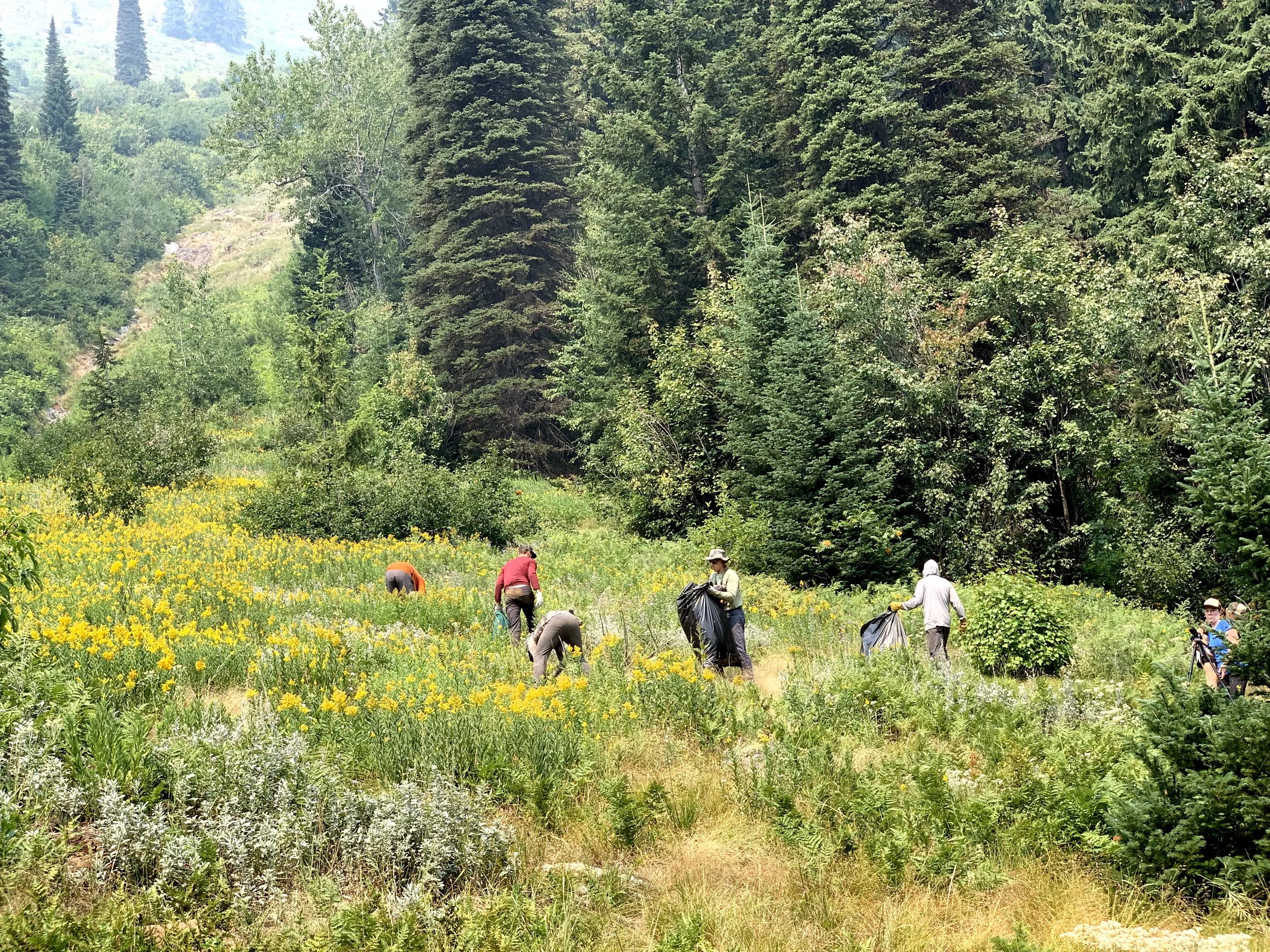
NO COST VOLUNTEER TRIPS
Join us on a single- or multi-day adventure to complete trail work, vegetation monitoring, weed pulling, or campsite monitoring. Spend your days immersed in wilderness and follow your experienced Great Burn leaders on trail work or other projects.
Trips allow ample time for breaks, snacks, and recreation time. We recommend hiking, swimming, fishing, photography, or relaxing with a good book.
Volunteer trips are free! A $50 refundable deposit secures your spot, and financial assistance is available.
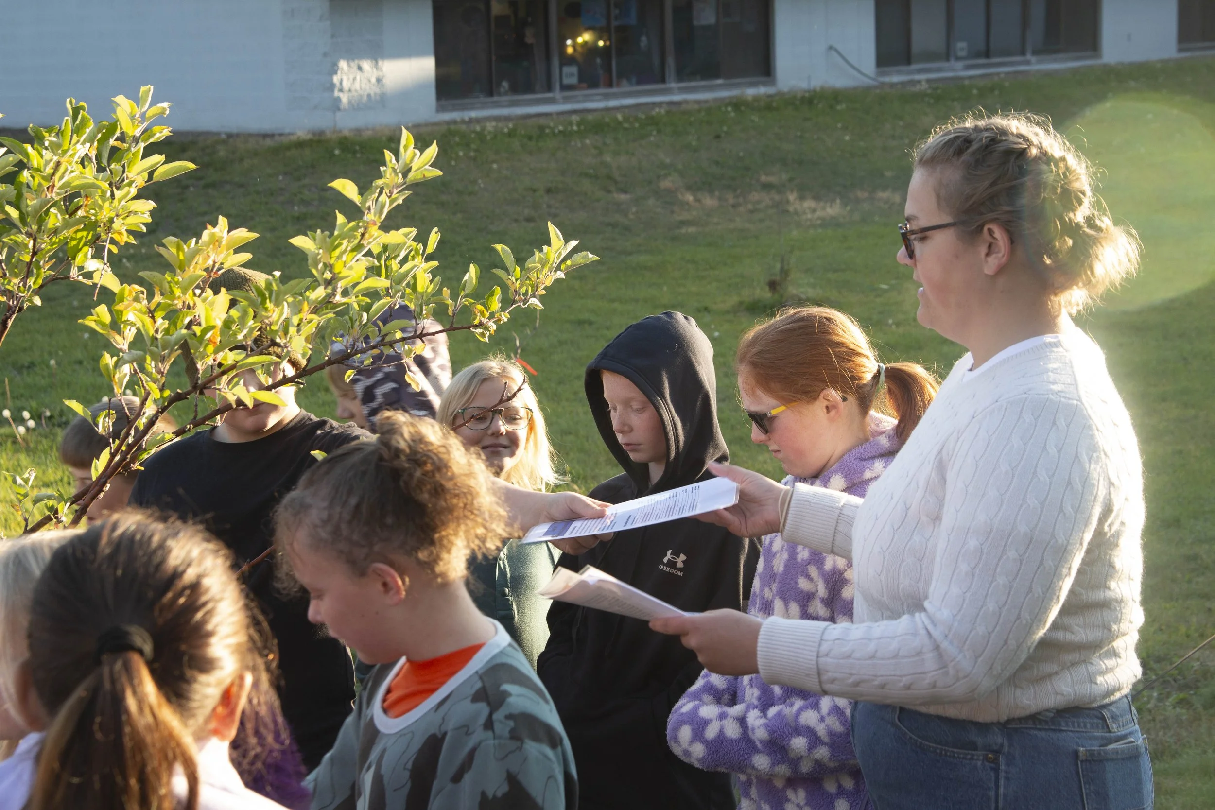
JOIN US AT AN UPCOMING EVENT
If you can’t make it out to the Burn or want short, daytime adventures, you can join us for a webinar, meet us at a fair, or join our leaders on guided hikes and clean-up projects.
Can’t support the Burn in person? Become a Friend of the Burn!
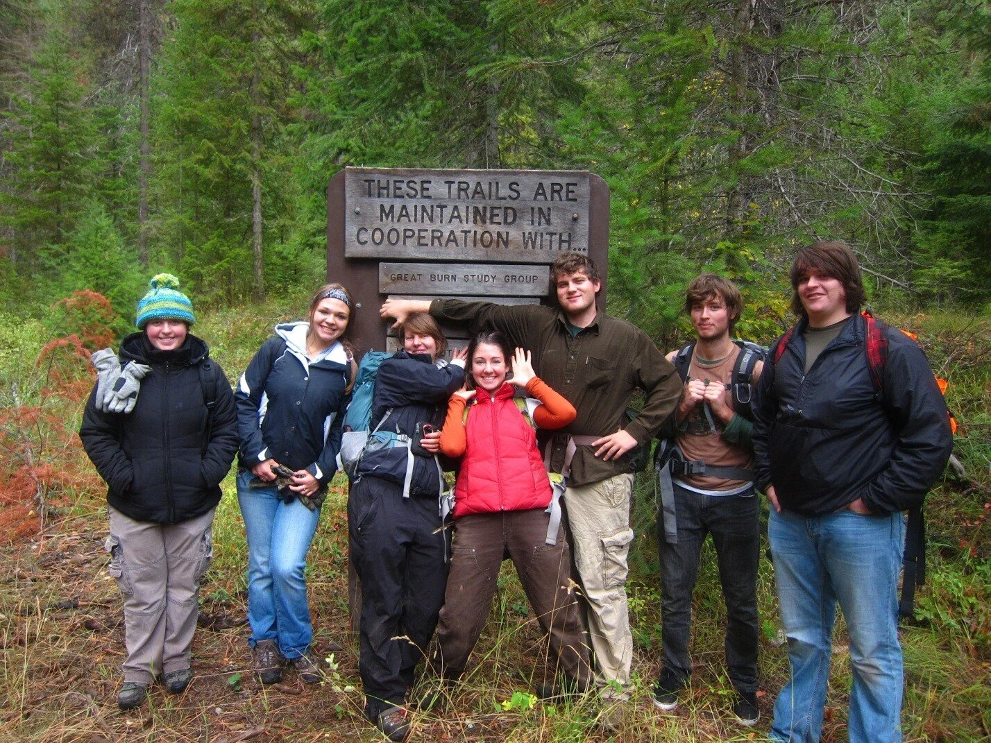
HEART LAKE AMBASSADORSHIPS FOR STUDENTS
Calling all university and college students! You can volunteer on your own or with friends at our beloved Heart Lake, where you’ll interact with visitors and encourage mountain goat safety. Ambassadors can earn college credit and enhance their skills in recreation management, public engagement, and landscape conservation.
“My time working as a Heart Lake Ambassador last fall was incredible! It was an invaluable experience, spending countless hours in the Great Burn’s backcountry while contributing to the conservation of such a special landscape.” — Cameron Kirwan, Heart Lake Ambassador
SOMETHING FOR EVERYONE:
OUR FAVORITE PARTS
OF THE BURN
IN IDAHO
-
Best for: Hiking
Length: 6.2-mile loopThis trailhead is accessible from the Lolo Motorway 500. Drive up Parachute Rd. 167 (just north of Powell), and drive west on the Motorway until you arrive at the trailhead. This trail is approximately 3 miles long and takes you to a series of three Lost Lakes.
GBCA tips:
Keep your eyes peeled for moose in the area!
Make sure you have good tires and ample vehicle clearance. Lolo Motorway is a rough road!
-
Best for: Hiking
You can access Blacklead after Lost Lakes. Continue on the Lolo Motorway to the Toboggan Ridge 581 Rd. at Cayuse junction. This road will take you to the 581C turnoff to Blacklead. From there, you can start hiking up the roadbed or drive until it becomes non-motorized.
Goat Lake is located approximately four miles from this point on the Williams Peak #508 trail, which offers an incredible perspective of the Great Burn.
GBCA tips:
Use caution! The Deer Creek #513 trail comes off this trailhead, but it hasn’t been maintained for years.
You’ll need a high-clearance, 4WD vehicle to access this trailhead.
-
Best for: Hiking, backpacking, camping, fly fishing
Length: 7.6 miles out and backYou can access the Kelly Creek Trailhead from the FS-250 Rd that connects Superior, MT, to Pierce, ID. Located about 50 miles down the road from Superior and 65 miles down the road from Pierce, Kelly Creek is remote, yet accessible to the patient driver.
The Cayuse Creek #532 junction is about 4 miles from the trailhead. Hanson Meadows is approximately 10.5 miles from the trailhead, and a great place to spend the night or do some casting.
GBCA tips:
If you’re interested in hiking the length of the Kelly drainage, head to Kid Lake, 23 miles from the start.
-
Best for: Biking and hiking
Length: 5.3 miles out and backYou can access Goose Creek #414 from the 5450 Rd. Take the FS-250 Rd. from Superior, MT, or Pierce, ID. Just west of the Cedars Campground, turn onto FS-295 (toward Fish Lake). At the Y, turn left onto FS-5450 and follow to the end. Goose Lake is located about 6 miles up the trail.
GBCA tip:
Bring your binoculars! Wildlife is typically abundant in this area.
Continue 1/2 mile past the lake to the Stateline #738.
-
Best for: Short, kid-friendly day hikes
Length: 1.5 miles
Schley is accessed off the Fish Creek 343 Rd. Take Surveyor Creek 7734 Rd west to its end. There’s a large parking area with a pit toilet. There is a gate to continue further down the road that is open from July through the end of August; otherwise, you’ll have to hike these three miles on foot.Kid Lake is just over the Stateline border in Idaho, about 2.5 miles from the final gate. From Kid Lake, you can also find the upper access of Kelly Creek #567.
GBCA tip:
Schley Mtn #110 will take you north into the Burn if you start at the first trailhead before the gate.
-
Best for: Hiking, horse riding, camping, hunting/shooting, fishing
Length: 7 milesCache Creek is accessed from the Fish Creek 343 Rd. Turn off at FS-4218 Cache Creek Rd to follow up to the end, arriving at the trailhead. The trailhead features hitching posts and plenty of parking if you choose to bring stock.
Cache Creek #317 follows the creek gradient for about 7 miles into the drainage. Enjoy views in some old burned areas and the sounds of the rushing creek.
GBCA tip:
Bring your camera or sketchbook! There are plenty of wildflowers that speckle the landscape.
-
Best for: Hiking, mountain biking
Length: 14.7 miles out and backFrom US Hwy-12, turn onto FS-595 Rd just opposite the Lolo Pass visitor center. Follow this road to Granite Pass, where you will come upon a dispersed camping site.
Jump on the Stateline #46 and head up to Pilot Knob. From here, you can choose to take Blacklead #35 or continue on the Stateline, eventually reaching Granite Peak.
-
Best for: Hiking, horse riding, camping, hunting/shooting, fishing, long-distance running
Clearwater Crossing trailhead and campground are only about 75 minutes from Missoula. From Fish Creek 343 Rd, turn onto FS-7750 Rd. (There’s a sign for Iowa State Conservation Camp.) Follow this road for 7 miles to reach the campground and trailhead. The crossing was burned in the Fish Creek Fire of 2015. While visiting, check out the signs and information following the fire.
North Fork Fish Creek #103 leads out of the crossing and eventually to Greenwood Cabins after 6.5 miles. You can continue past Greenwood and choose to head to French Lake or even up to the Stateline #738.
West Fork Fish Creek #101 starts by crossing the bridge and heading into the burn. From here, you can continue to Fish Lake (11 miles) or take Schley Mountain #110 to the Schley trailhead (7 miles).
-
Best for: Hiking
Length: 7 miles round tripYou can access Hoodoo Pass from the FS-250 Rd. Exit I-90 at Superior and take 250 approximately 25 miles to the Hoodoo Pass, Stateline.
Stateline #738 passes back and forth between MT and ID for miles. You’ll come upon an intersection leading to Heart Lake (4 miles total), or you can continue and drop down into Dalton and Pearl Lakes. Following the trail further south makes for a wonderful trip where you could eventually pop out at Clearwater Crossing or Schley trailheads.
GBCA tip:
Visit this trailhead beginning at the end of June or early July. That’s when it typically melts out.
IN MONTANA
LAKES OF THE BURN
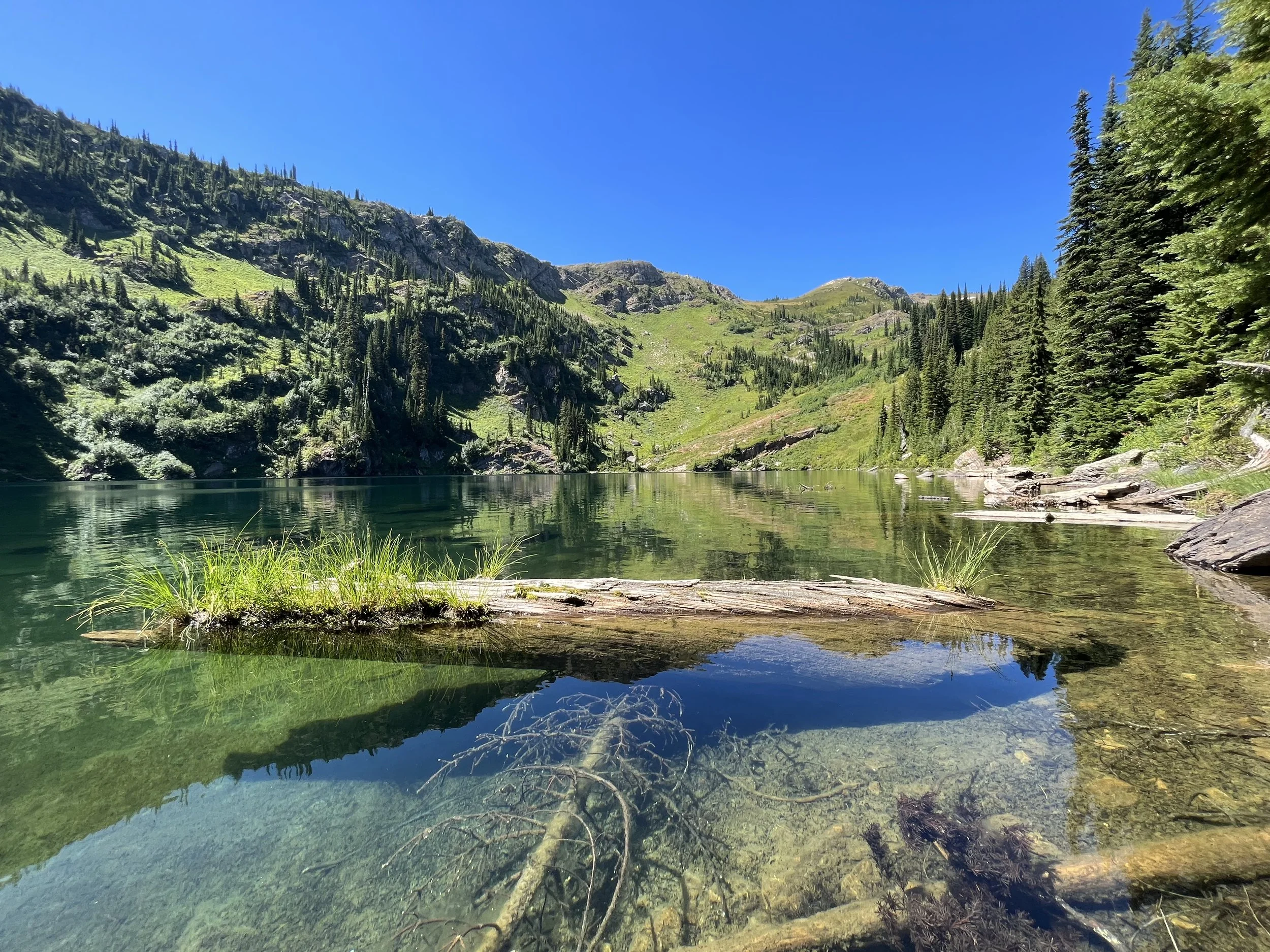
HEART LAKE
Location: Idaho
Size: 33 acres
Species: Largemouth and Smallmouth Bass, Brook Trout, Bull Trout, Kokanee, Salmon, Steelhead, Sturgeon, Tiger Muskie, Cutthroat Trout, Rainbow Trout, Walleye, Whitefish
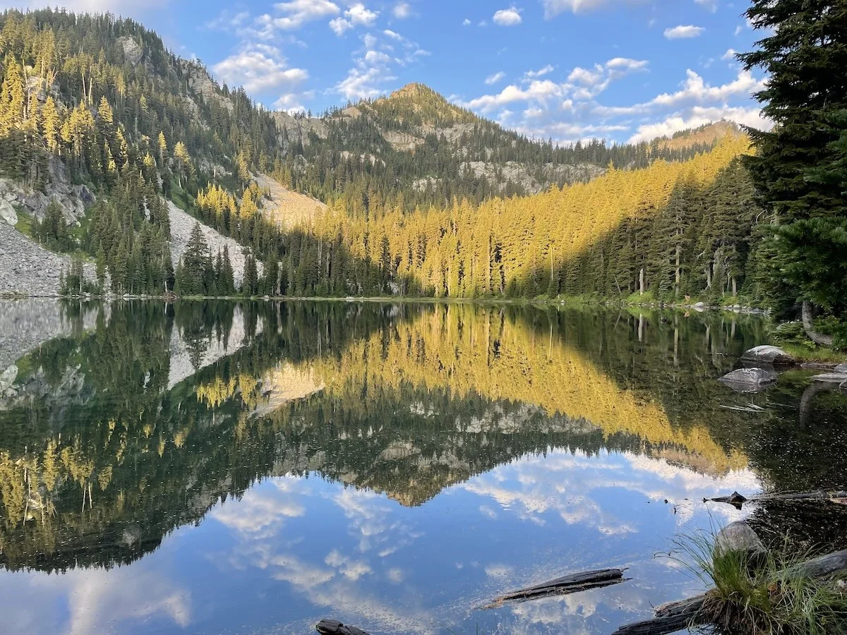

MALLARD LAKE
Location: Idaho
Size: 1.2 acres
Species: Largemouth and Smallmouth Bass, Brook Trout, Bull Trout, Kokanee, Salmon, Steelhead, Sturgeon, Tiger Muskie, Cutthroat Trout, Rainbow Trout, Walleye, Whitefish
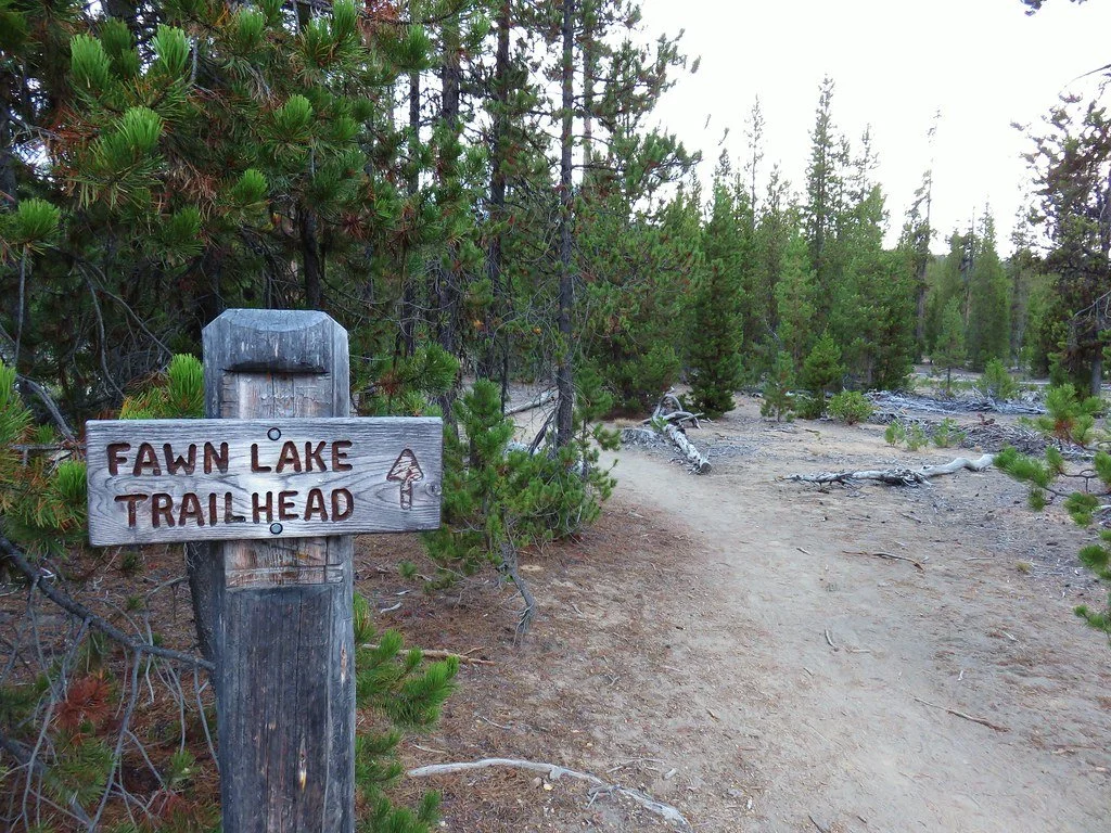

Location: Montana
Size: 7.3 acres
Species: Westslope Cutthroat Trout
FAWN LAKE
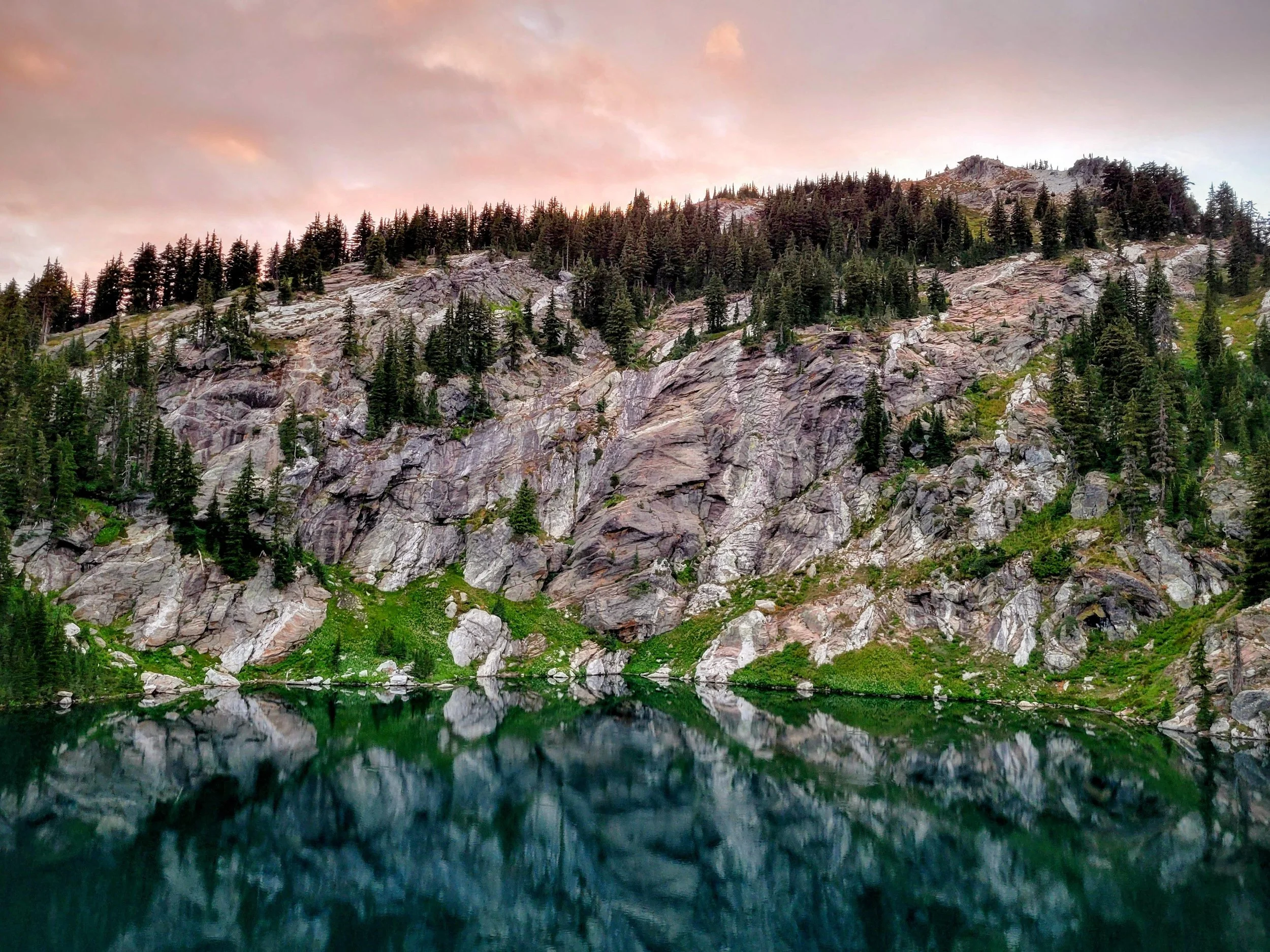
BLACK LAKE
Location: Idaho
Size: 25.8 acres
Species: Largemouth and Smallmouth Bass, Brook Trout, Bull Trout, Kokanee, Salmon, Steelhead, Sturgeon, Tiger Muskie, Cutthroat Trout, Rainbow Trout, Walleye, Whitefish
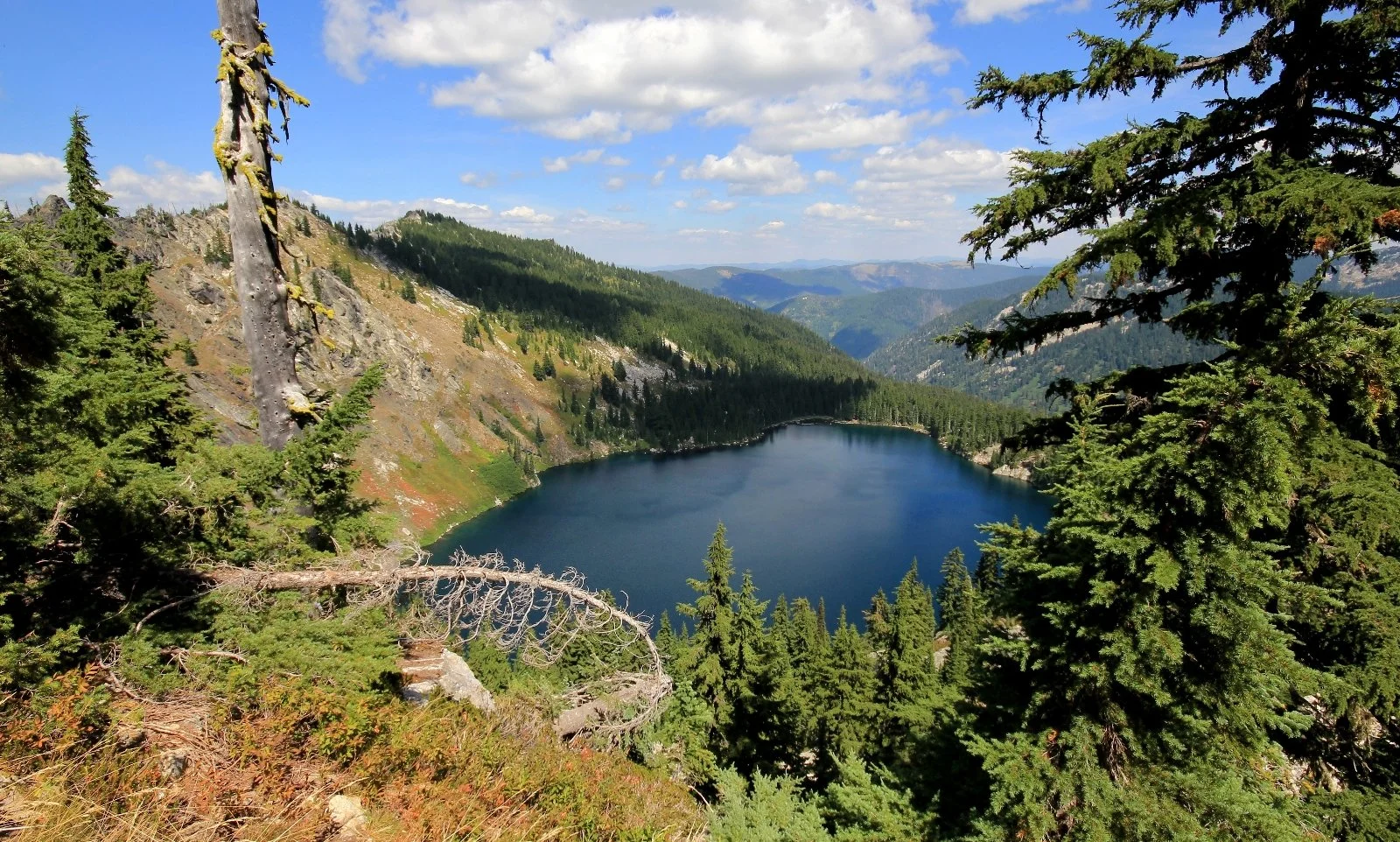

LARKINS LAKE
Location: Idaho
Size: 7.7 acres
Species: Largemouth and Smallmouth Bass, Brook Trout, Bull Trout, Kokanee, Salmon, Steelhead, Sturgeon, Tiger Muskie, Cutthroat Trout, Rainbow Trout, Walleye, Whitefish
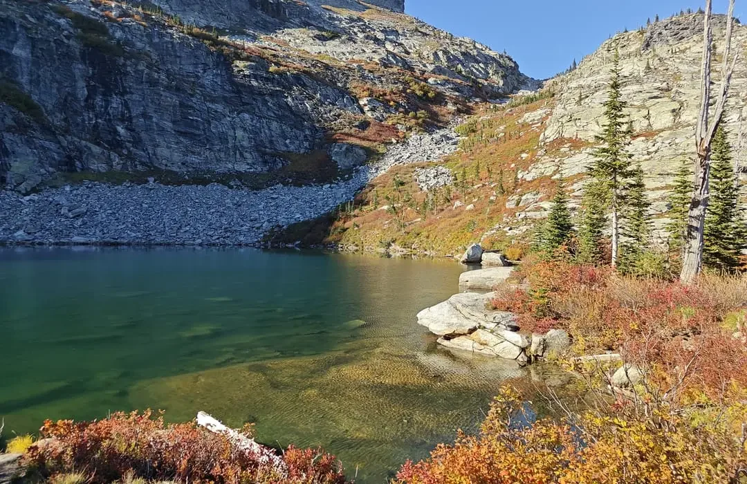
NORTHBOUND LAKE
Location: Idaho
Size: 10.2 acres
Species: Largemouth and Smallmouth Bass, Brook Trout, Bull Trout, Kokanee, Salmon, Steelhead, Sturgeon, Tiger Muskie, Cutthroat Trout, Rainbow Trout, Walleye, Whitefish
LOVING THE BURN MEANS LEAVING NO TRACE
It’s easy to forget — or just not know — how vast, rugged, and remote the Great Burn is.
Our stewards and volunteer crews do what they can to keep popular areas clean and clear of hazards, but everyone can do their part.
We encourage all backcountry visitors to practice Leave No Trace principles for their own safety (the Great Burn is bear country) and the health and longevity of the flora and fauna that call the area home.
MINIMIZE CAMPFIRE IMPACTS
RESPECT WILDLIFE

TRAVEL AND CAMP ON DURABLE SURFACES
PLAN AHEAD & PREPARE

DISPOSE OF WASTE PROPERLY

LEAVE WHAT YOU FIND

BE CONSIDERATE OF OTHERS

SUBMIT A COMMUNITY SCIENCE REPORT
Using phone-based apps is a great way to help us and our USFS partners better understand what is happening within the Great Burn. The RIMS and Wild Spotter apps provide a platform to report trail and facility conditions, backcountry violations and conflicts, and the presence of invasive species. These apps use the power of crowdsourcing to help determine areas of priority and need that we may not be aware of.
Download these apps before heading into the Great Burn to help us better understand the current use conditions within the backcountry.
TELL US ABOUT YOUR TRIP
-
The RIMS app, standing for Recreation Impact Monitoring System, provides a form to report trail and campsite conditions, track visitor use, and report rule violations within the backcountry. This app allows for information entry while deep within the Great Burn, providing accurate GPS information.
The data entered into the RIMS app will be used by USFS and GBCA to determine current needs and priorities, as well as to understand current use rates.
To learn more and download, check out the RIMS information page.
-
The Wild Spotter app is a GBCA partner focused on plant identification and tracking of invasive species present in the backcountry. This app provides an excellent forum for education-related plant identification while simultaneously providing USFS and GBCA with location-based data related to invasive species.
To learn more and download, check out the Wild Spotter website.
-
If neither of these apps fits your needs, or perhaps you want GBCA to address a potential issue directly, use our Direct Reporting Form.
We greatly appreciate any information you can provide us to further the conservation and stewardship of the Great Burn ecosystem.
IS THERE ANYTHING YOU CAN’T DO ON THE BURN?
The Great Burn is an interconnected landscape of different lands owned, managed, and designated for various entities — we’re merely its carers, keepers, and advocates. And there are different recreation and use rules for each. Plus, weather conditions, fire danger, damaged terrain, and motorization rules can all affect what you can do or where you can go on the Burn throughout the year.
As you prepare to visit, we encourage you to review the United States Forest Service’s fire danger statuses and closure, use, and regulation alerts for the Lolo National Forest, Idaho Panhandle National Forest, and the Nez Perce-Clearwater National Forest.
Make any recurring donation, and opt in to receive action alerts, volunteer information, newsletters, and other opportunities to get engaged to become a Friend of the Burn. You’ll join hundreds of others who are showing support for permanent protection of this special place, so that it can stay Wild and available for generations to come.
BECOME A FRIEND OF THE BURN
