


Marked by its stunning beauty and remote landscapes, the Great Burn ecosystem is a 1.9-million-acre hub of complex and undeveloped wildlands in the northern Rocky Mountains from Lolo to Lookout Pass.
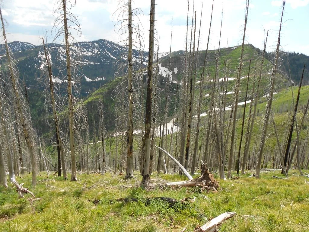
Shaped by the Great Fire of 1910, the Great Burn’s alpine lakes, rugged ridgelines, and ancient cedar groves provide a key wildlife corridor connecting the Crown of the Continent and Selkirk-Cabinet-Yaak ecosystems with the wildlands of central Idaho and the Greater Yellowstone Ecosystem.
THE PLACE
A REMOTE BACKCOUNTRY LANDSCAPE

Spans nearly 2 million acres of public wildlands in the Northern Bitterroot Mountains along the Idaho-Montana border.
The fires known as the Great Burn of 1910 consumed 3 million acres in three days. The Great Burn landscape we know today covers 1.9 million acres of wildlands. Within that are three national forests and recommended wilderness areas the GBCA designates as our Mission Area.
Federal protection in the Mallard Larkins, Great Burn, and other recommended wilderness areas is one of many solutions to prevent large-scale development and safeguard natural resources.
Manages the Montana side of our Mission Area, including the Great Burn Recommended Wilderness. Its upcoming forest management plan will determine land use for the next 25-30 years.
Manages the majority of the Idaho side of our Mission Area, and includes 179,600 acres of the Hoodoo and Mallard Larkins recommended Wilderness.
Subject to the 2001 Roadless Rule limiting timber harvesting and road building, and account for 30% of all National Forest land in the United States.
Connects the Crown of the Continent and Selkirk-Cabinet-Yaak ecosystems with the wildlands of central Idaho and the Greater Yellowstone Ecosystem.
WILDLIFE
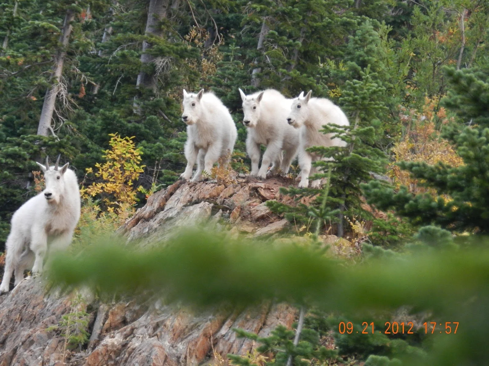
The Great Burn ecosystem is a haven for unique flora, threatened and endangered species like wolverine and Canada lynx, home to native mountain goat herds, and many large wildlife species that require tracts of continuous wildlands to survive and thrive.
RECREATION
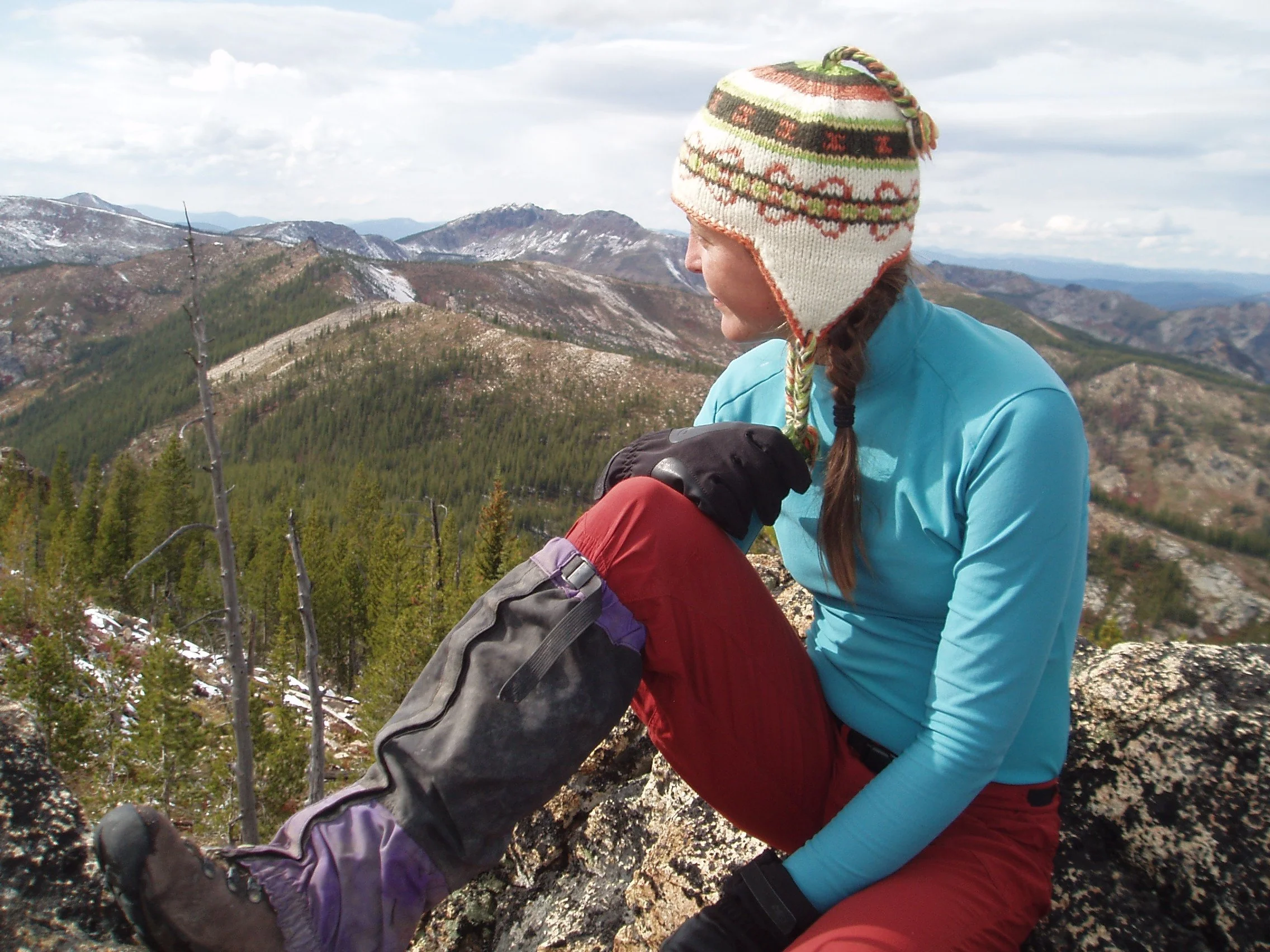
The Great Burn’s lakes, trails, backcountry and frontcountry campsites, and state parks are used and loved by recreators of all ages and experience levels. For hunters, hikers, anglers, horseback riders, bikers and motorized users, it’s an ideal landscape for families and individuals passing through and those seeking long-mileage adventures and authentic outdoor experiences.
ecosystem services
The Great Burn's cold, clear lakes and streams help provide drinking water for surrounding communities, and its dense forests serve as a carbon sink, pulling planet-heating gases out of the atmosphere. The region also boosts local economies, supporting hunting and angling outfitters and drawing recreational tourism.
Public lands are for everyone, and the Great Burn lakes and landscapes offer stunning and serene front- and backcountry experiences. For experienced campers, hunters, and wildlife watchers to short-mileage backpackers, trail runners, and artists, the Great Burn is as much for hardcore outdoor enthusiasts as it is for kids, families, and grandparents.
FIND YOUR CORNER OF THE GREAT BURN
The Great Burn represents some of the last unprotected Wild areas in the United States. It’s a vast and remote landscape filled with high mountain lakes, free-flowing streams, and distinct ecosystems.
Earning federal protection across the Great Burn (including for the Mallard Larkins and Great Burn Recommended Wilderness areas) is just one of many solutions that can help us protect the land from large-scale commercial enterprises, and also boost nearby economies through tourism and recreation, while safeguarding clean air and drinking water.
Since 1971, the Great Burn Conservation Alliance has been partnering with the US Forest Service and other organizations to keep the recommended Wilderness in our Mission Area eligible for permanent federal protection and push back against plans and policies that jeopardize it.
A RECOMMENDED WILDERNESS OF MOUNTAINS AND RIVERS WITHOUT END

Lolo National Forest
The Lolo National Forest manages the Montana portion of the Great Burn Mission Area and is currently in the process of developing a new management plan. These plans often guide forest management for the next 25-30 years.
NEz PERCE-CLEARWATER NATIONAL FOREST
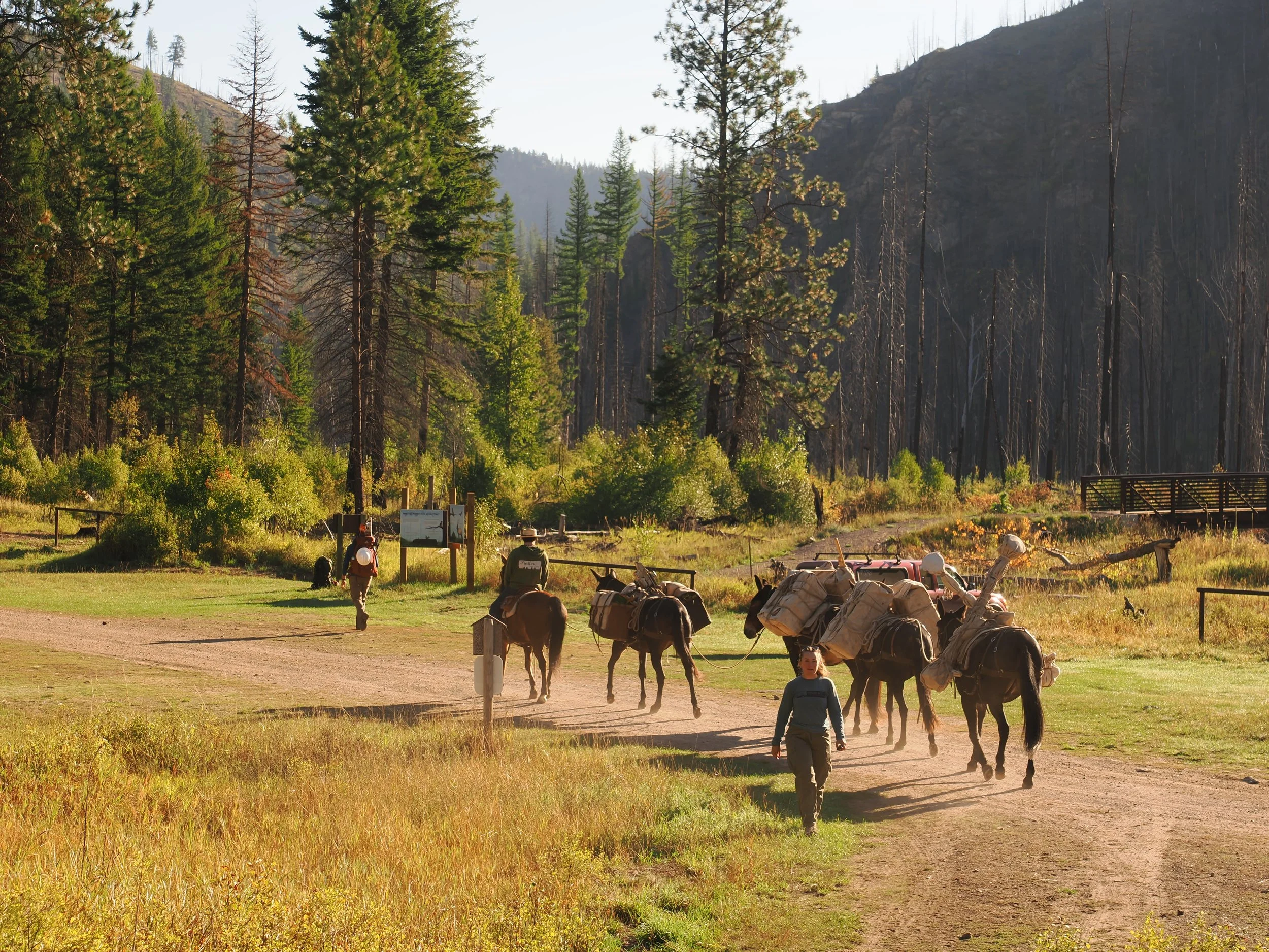
The Nez Perce-Clearwater National Forest manages the majority of the Idaho portion of GBCA’s mission area. This includes 12 roadless areas and 179,600 acres of the recommended Wilderness (Hoodoo and Mallard Larkins). The Nez Perce-Clearwater National Forest has finalized its updated forest management plan.
INVENTORIED ROADLESS AREAS
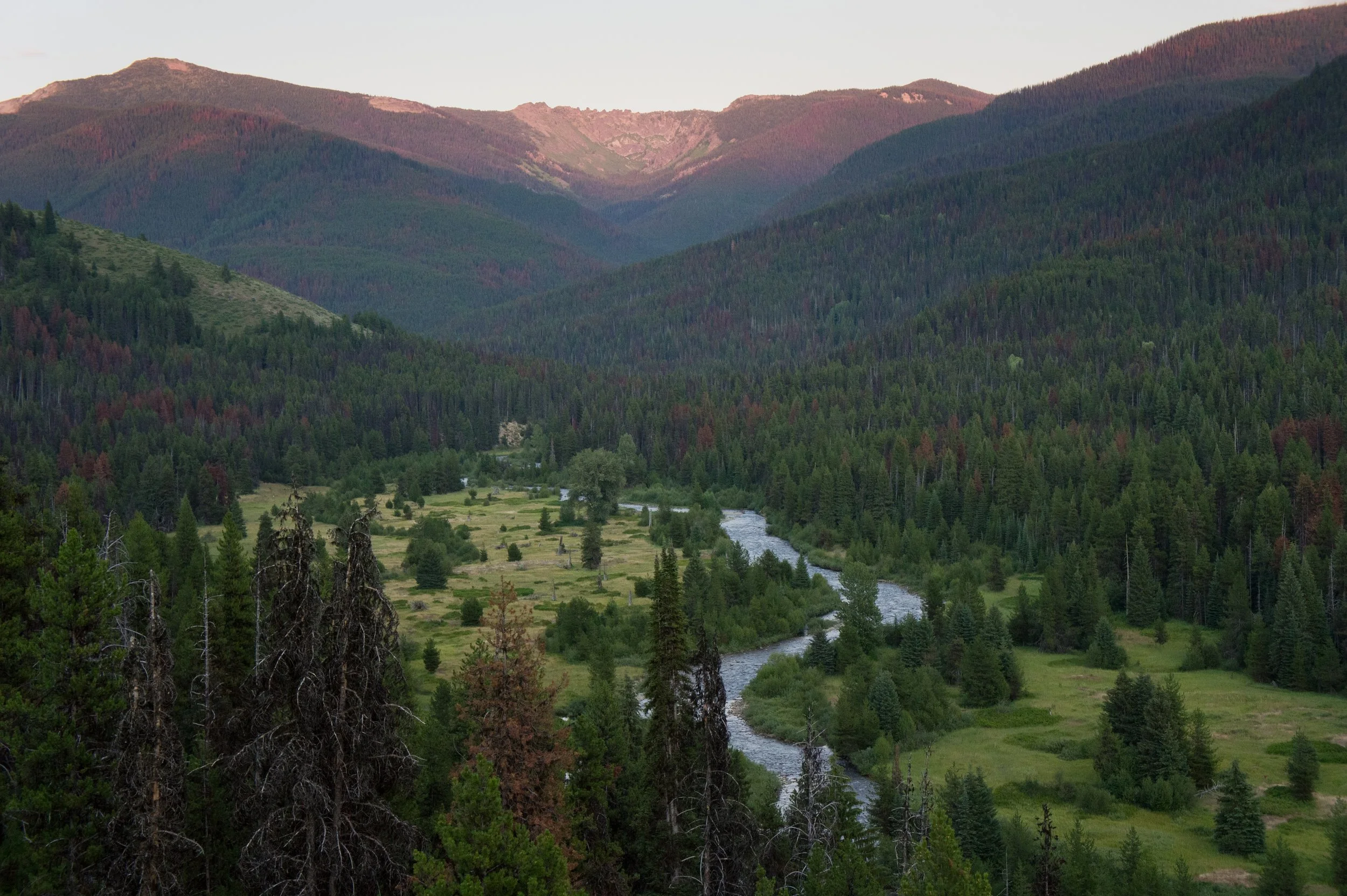
Forest Service Inventoried Roadless Areas (IRAs) are areas of National Forest land that are managed according to the 2001 Roadless Rule, generally limiting timber harvesting and road building. IRAs account for roughly 30%, or 58.2 million acres, of all National Forest land in the United States and are highly concentrated in the western states.
Make a donation, and opt in to receive action alerts, volunteer information, newsletters, and other opportunities to get engaged to become a Friend of the Burn. You’ll join hundreds of others who are showing support for permanent protection of this special place, so that it can stay Wild and available for generations to come.
BECOME A FRIEND OF THE BURN
